
Keyword
environmental assessment
2 record(s)
Type of resources
Available actions
Topics
Keywords
Contact for the resource
Provided by
Years
Formats
Representation types
Update frequencies
Status
Scale
Resolution
panaceaKeywords
GEMET keywords
-
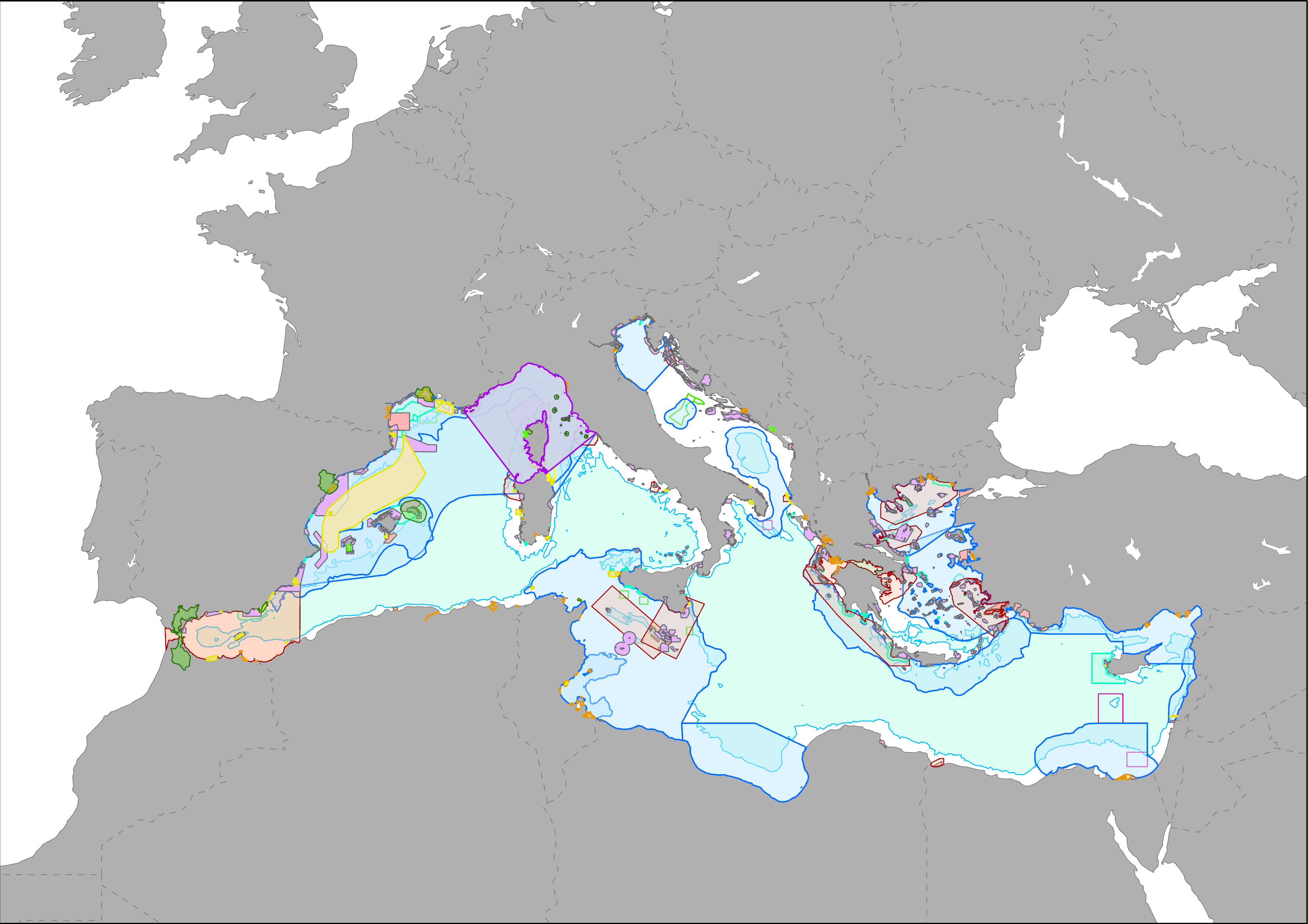
MAPAMED (MArine Protected Areas in the MEDiterranean) is a cartographic database of key information on Mediterranean Marine Protected Areas (MPAs), potential Other Effective area-based Conservation Measure (OECMs), and more broadly on sites of interest for marine conservation. It is developed and administered jointly by UNEP/MAP-SPA/RAC and the MedPAN Association. For detailed information, please consult the MAPAMED user manual (April 2021 version).
-
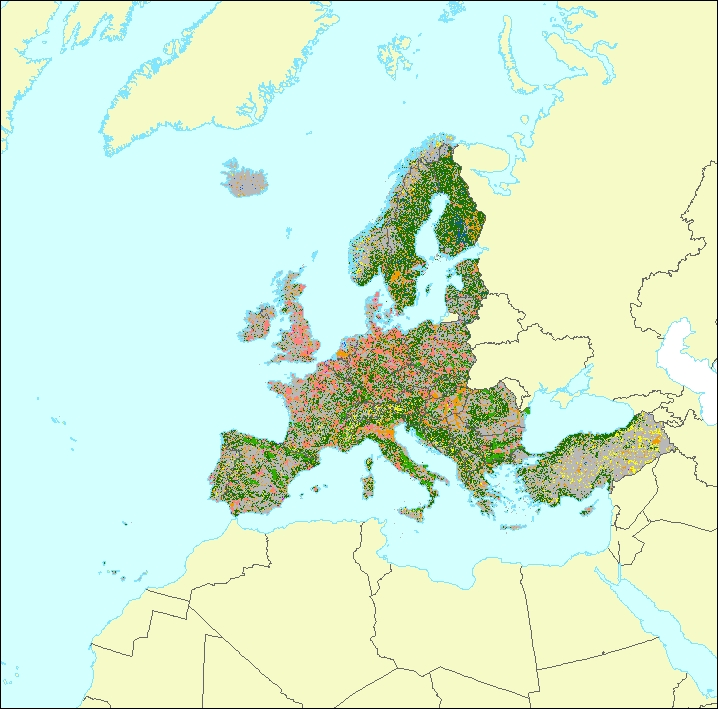
The data set is a secondary product accompanying the terrestrial part of the Ecosystem Type Map 2012 v3.1. It provides supplemental information: • estimated geometric reliability ranging from 1 – 10 (very low to very high) • estimated thematic reliability ranging from 1 – 10 (very low to very high) • Main original LC input data source: - Corine Land Cover - Urban Atlas - Riparian Zones - Natura 2000 (N2k) - High Resolution Layer Forest - High Resolution Layer Grassland - High Resolution Layer Imperviousness - High Resolution Layer Permanent Water Bodies - OpenStreetMap Roads - OpenStreetMap Landuse • MAES Level 2 (Urban, Cropland, Grassland, Woodland and Forest, Heathland and shrub, Sparsely vegetated land, Wetlands, Marine inlets and transitional waters)